
Indian Army Geoinformatics/ GIS/ Remote Sensing Internship 2026

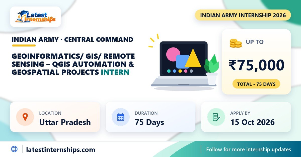
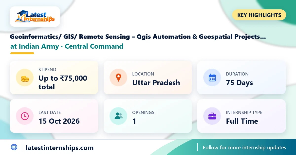
Applications are open for the Indian Army Geoinformatics/ GIS/ Remote Sensing internship on the AICTE Internship Portal. It is offered by the Indian Army's Central Command, runs for 75 days and is based in Uttar Pradesh. The stipend is up to ₹75,000 for the whole internship, paid after you complete it and meet all programme requirements. There is 1 opening, and the last date to apply is 15 Oct 2026. The listing went up on 9 Oct 2026.
It is open to M.Tech / M.E or B.Tech / B.E / equivalent students. It suits students who want to apply Python and Statistics to real defence work. Below you will find the work, eligibility, stipend, dates and the steps to apply, with the official link. Anything the listing does not mention is marked as not specified.
Internship Overview
Here are the key details in one table.
| Organization | Indian Army (Central Command) |
|---|---|
| Command Headquarters | Lucknow |
| Internship Role | Geoinformatics/ GIS/ Remote Sensing – Qgis Automation & Geospatial Projects Intern |
| Stipend | Up to ₹75,000 for the full internship (paid after completion) |
| Location | Uttar Pradesh |
| Work Mode | Not specified |
| Internship Type | Full Time |
| Duration | 75 Days |
| Openings | 1 |
| Last Date to Apply | 15 Oct 2026 |
| Apply On | AICTE Internship Portal |
About Indian Army Central Command
Central Command is one of the regional commands of the Indian Army, with its headquarters in Lucknow. Its internships are listed on the AICTE Internship Portal, where students apply with their college details. The listing names Uttar Pradesh as the place of work. Some projects may involve working at more than one Army location; check the listing for details.
Internship Details
- Offline QGIS Environment Development.
- Organise large raster and vector collections into structured local repositories.
- Configure CRS, projections, symbology, layer styles and map layouts.
- Help with creating spatial databases and geospatial catalogues for rapid data retrieval.
- GIS Automation.
- Automate raster selection using geographic extent, date, sensor and other metadata.
- Automate vector layer selection and retrieval from local repositories.
- Perform batch processing of satellite imagery.
- Automate clipping, reprojection, mosaicking and resampling of raster
- Automate extraction of areas of interest AOIs and generation of map products.
- Automate conversion and preparation of raster and vector datasets.
- Python PyQGIS for repetitive operations.
Roles and Responsibilities
As per the listing, your work will include:
- Develop and maintain offline QGIS project environments for geographic areas.
- Prepare offline basemaps using OSM and other available geospatial datasets.
- Create reusable QGIS project templates for countries, regions and areas of interest.
- Develop efficient workflows for large datasets in offline mode.
- Geospatial Data Preparation and Management.
- Collect, preprocess, catalogue and organise EO, SAR and hyperspectral imagery.
- Prepare administrative boundaries and thematic vector layers.
- Maintain datasets covering administrative boundaries, roads, railways airports, ports, waterways, rivers, lakes and drainage.
- Develop consistent naming, indexing and metadata systems for offline datasets.
- Develop automated workflows for repetitive GIS and remotesensing tasks.
- Develop QGIS Processing Modeler workflows and, where appropriate, use
- Terrain and Hydrographic Analysis.
- Develop workflows for DEM, elevation, slope, aspect, contours, terrain profiles, drainage networks, rivers and water bodies, watersheds catchments, terrain accessibility and geographic relationships.
- Transportation and Infrastructure Analysis.
- Analyse road and rail networks, bridges, airports airfields, ports and major transportation facilities.
You May Also Like: Indian Army Mission Reliability Analytics for Artillery Internship
Eligibility Criteria
The listing sets these criteria:
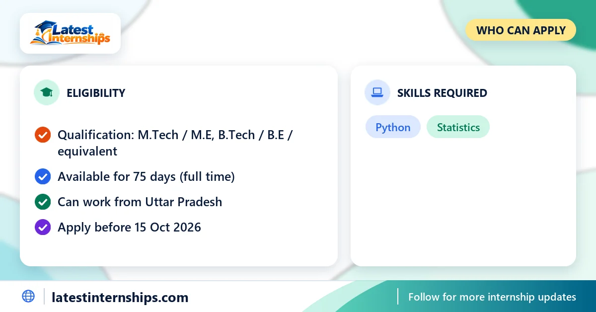
- Degree: M.Tech / M.E or B.Tech / B.E / equivalent
- You can work full time for the full 75 days
Required Skills
The listing asks for these skills:
- Python
- Statistics
Stipend and Benefits
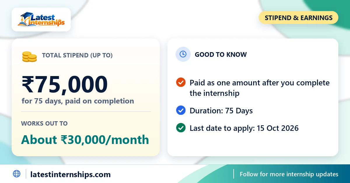
The listing says: "The stipend (up to Rs 75,000) will be disbursed upon the successful completion of the internship and fulfillment of all program requirement." So the stipend is a single payment of up to ₹75,000 for the whole 75 days, not a monthly salary, and it is paid only after you complete the internship and meet the programme's requirements. Spread over the internship, it works out to about ₹30,000 a month.
| Per month | Up to ₹30,000 |
|---|---|
| Total for 75 days | Up to ₹75,000 |
No other benefits are listed.
Internship Duration and Mode
The internship runs for 75 days and is full time. The listing names Uttar Pradesh as the location. If you live elsewhere, check whether you can relocate for the full period.
Important Dates
| Posted On | 9 Oct 2026 |
|---|---|
| Last Date to Apply | 15 Oct 2026 |
| Internship Start Date | Not specified |
Required Documents
The listing does not list any required documents. Keep an updated resume in PDF format ready, as most forms ask for one.
Selection Process
The listing does not describe the selection process. After you apply, watch your email and phone for any test or interview call.
How to Apply
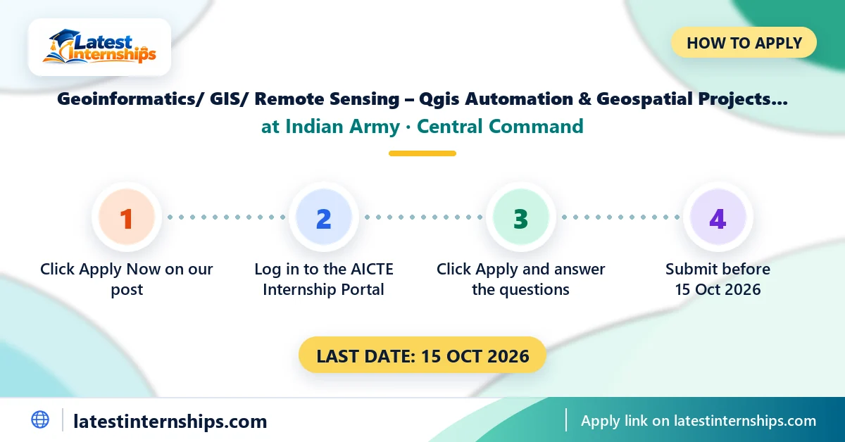
- Click "Apply Now" below. It opens this internship on the AICTE Internship Portal.
- Log in with your student account. If you are new, register first with your college details.
- Click Apply on the internship page and answer any screening questions.
- Track your application status on your portal dashboard.
Important Official Links
- Official listing and application: Geoinformatics/ GIS/ Remote Sensing – Qgis Automation & Geospatial Projects internship listing on the AICTE Internship Portal
- AICTE Internship Portal: internship.aicte-india.org
- Indian Army website: indianarmy.nic.in
This post shows a shorter version of the description; the full text is in the listing above.
Practical Tips for Applicants
- Complete your AICTE Internship Portal profile (college, course and year) before you apply, so the form goes through in one go.
- Keep your resume to one page and put your most relevant skills at the top.
- Match your resume to this listing: put the skills it asks for near the top.
- Apply a few days before the last date. Portals get slow near the deadline.
- Read about the Indian Army's Central Command and its work, so you can say in your application why this project interests you.
- Defence projects come with rules on data handling, devices and access. Follow the instructions you are given.
- Keep your college ID card and a bonafide or no-objection letter from your college ready, in case they are asked for.
More Internships and Guides
Frequently Asked Questions
Quick answers to the most common questions about this internship.
1Is this an Indian Army internship?
It is offered by the Indian Army's Central Command and listed on the AICTE Internship Portal.
2What is the stipend for the Indian Army Geoinformatics/ GIS/ Remote Sensing internship?
Up to ₹75,000 for the whole internship. The listing says it is paid after you complete the internship and meet all programme requirements.
3Is the stipend paid every month?
No. It is one payment at the end, after successful completion.
4How long is the internship?
It runs for 75 days and is full time.
5Where is the internship located?
It is based in Uttar Pradesh, as per the listing.
6Who can apply?
Students with M.Tech / M.E or B.Tech / B.E / equivalent.
7What is the last date to apply?
Applications close on 15 Oct 2026.
8How do I apply?
Open the listing with the Apply Now button, sign in to the AICTE Internship Portal and submit your application there.
Conclusion
This Geoinformatics/ GIS/ Remote Sensing – Qgis Automation & Geospatial Projects internship with the Indian Army's Central Command runs for 75 days, with a stipend of up to ₹75,000 paid after completion. Read the official listing for any change, then apply before the last date.
About the Author
Disclaimer: Latest Internships is an independent information website and is not connected with AICTE or the Indian Army. The details are taken from the public listing on the AICTE Internship Portal; check the latest eligibility, stipend and dates there before you apply.



[…] Terrain Analysis Internship 2026 Indian Army Collaborative Unmanned Ground and Aerial Internship Indian Army Geoinformatics/ GIS/ Remote Sensing Internship 2026 Indian Army Mission Reliability Analytics for Air Defence […]